


Military History | Segedunum, Wallsend — What the Demolitions Gave Back
· 1975
Personal memoryBy kevin · · Report an issue















































Find memories left by people near you.
Distribute Bounty
This will distribute the bounty equally among all qualifying memories. This action cannot be undone.
Cancel Bounty
Are you sure you want to cancel this bounty? The remaining amount will be refunded to your account.
Success!
Operation completed successfully.
Error
Something went wrong.
Military History | Segedunum, Wallsend — What the Demolitions Gave Back
kevin
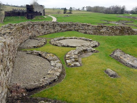
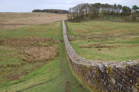
Hadrian's Wall ends here, on a plateau above the north bank of the Tyne. Wallsend was not in the first plan: the fort went up around AD 125, three or four years after the main construction of the Wall, when the frontier was carried east from Newcastle. From the fort's south-east corner a branch wall about 590 feet long ran down to the deep-water channel.
Everything Roman at Wallsend has surfaced when industry dug, or when industry was cleared away. In 1814, workmen forming the gears of Fawdon Staith cut into a Roman building near the high-water mark; John Hodgson published his account of the "very curious cauldron for heating water" in 1840, and it went out of sight again. The branch wall was recorded in 1903 during construction of the Mauretania's slip, and once more in 1961, about 50 metres from the fort's south-east corner, while No. 1 berth was being built in the shipyard next door.
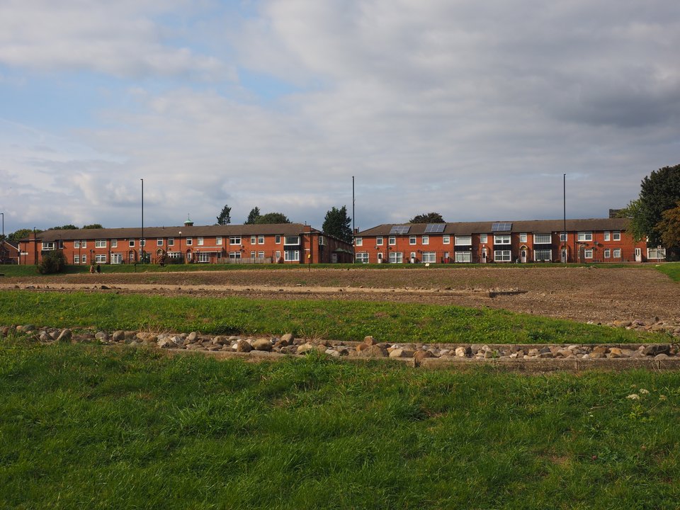
Above ground the fort had gone. The Tyne and Wear Historic Environment Record puts it flatly: the area "had become a pit village in the early 19th century, was built over again at the end of the 19th century, and was only finally cleared in the 1970s and 1980s." Rob Collins gives the consequence: Charles Daniels was able to dig "following the demolition of terrace housing in the 1970s." Between 1975 and 1984 the whole surviving interior was excavated, except the strip under Buddle Street. Daniels died before the report appeared in 2016.
The pattern held. A pub came down in 2011; in 2014 the bath house last seen in 1814 was found beneath it, 130 metres south of the fort, one plunge bath still lined pink. The platform is open daily, and free to anyone aged 21 or under and to anyone living in NE28.
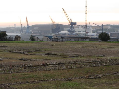
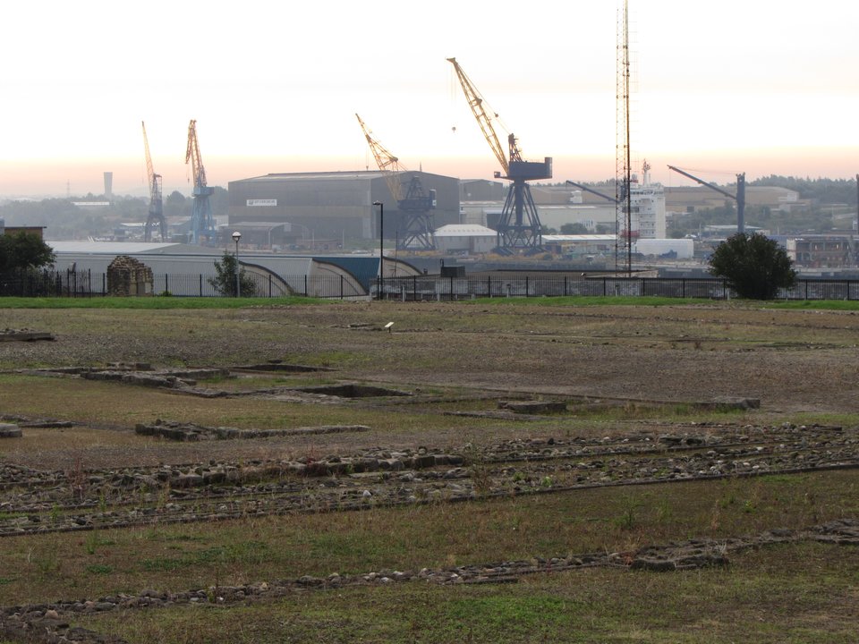
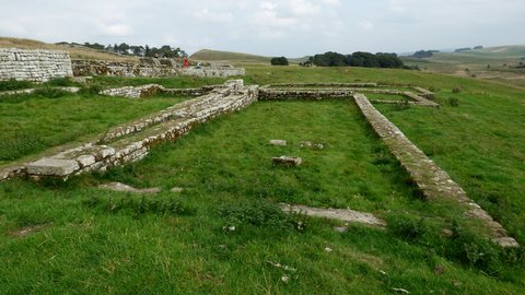
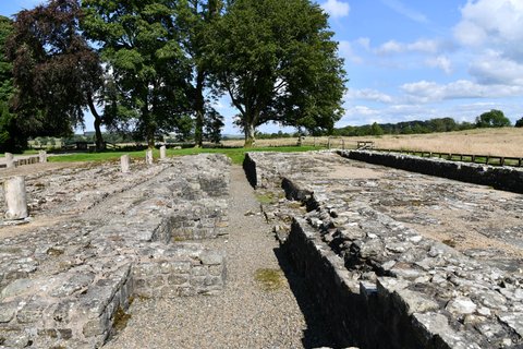
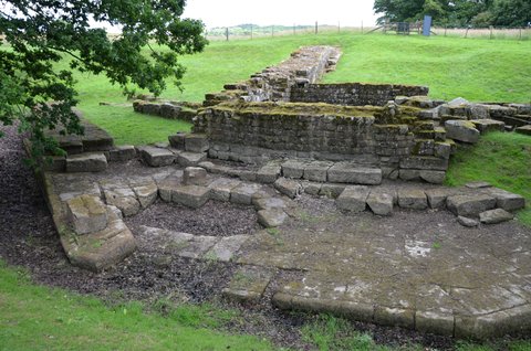
📸 Cover: the excavated fort platform with the shipyard cranes on the skyline beyond it; photograph by Gareth James, 5 September 2013, CC BY-SA 2.0 via Geograph Britain and Ireland. Second image, Roman wall footings in the grass with Wallsend housing behind; Nick-D, 21 September 2022, CC BY-SA 4.0 via Wikimedia Commons.


changes?
delete this memory?
We detected that you have a Blox in your crypto wallet! We will import the Blox into your account.
Click on done below to complete the import.
Welcome Back!
Sign in to preserve cherished moments
Don't have an account?
Welcome!!
Sign up and start preserving cherished moments
?
?
Choose your payment method
Buy with Metablox Credit
Do you want to mint Blox with Metablox Credit?
Which Crypto would you like to use?
Purchase Confirmed!
Your Blox is being minted on-chain and will appear in your profile shortly.
Log in or sign up to claim your Blox.
How many credits do you want to buy?
$100 USD = 1 Metablox Credit = 1 Blox.
Use Metablox Credit to mint any Blox you want on the map.
 expand_more