


Military History | Chesters Bridge Abutment — What the Gravel Kept
· 1863
Personal memoryBy kevin · · Report an issue
























































Find memories left by people near you.
Distribute Bounty
This will distribute the bounty equally among all qualifying memories. This action cannot be undone.
Cancel Bounty
Are you sure you want to cancel this bounty? The remaining amount will be refunded to your account.
Success!
Operation completed successfully.
Error
Something went wrong.
Military History | Chesters Bridge Abutment — What the Gravel Kept
kevin
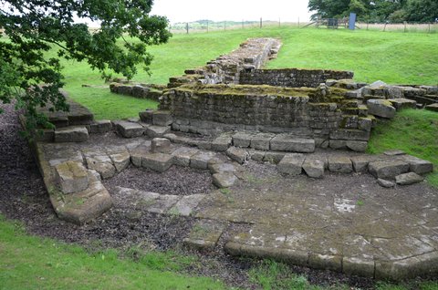
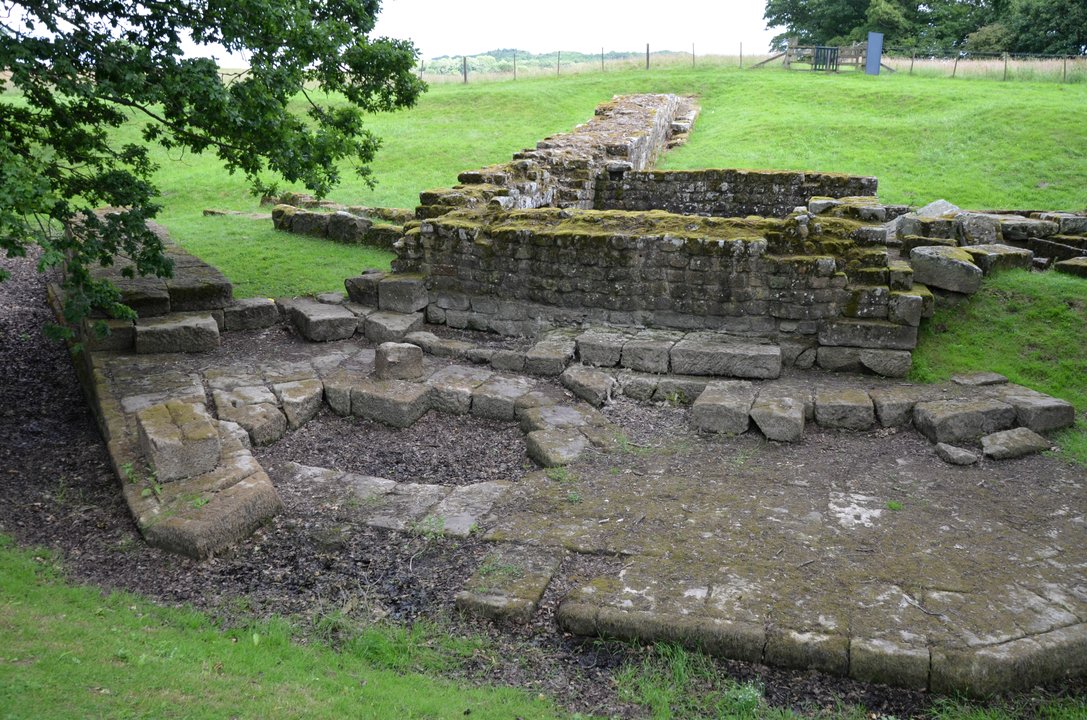
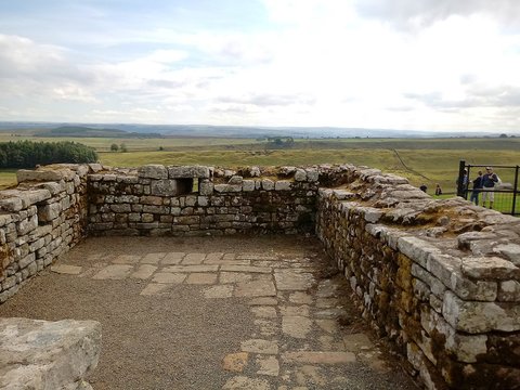
Chesters fort stands on the west bank of the North Tyne. The bridge that carried Hadrian's Wall over the water landed on the east bank, and that is where the masonry survives. Two bridges stood here in turn. The first was built with the Wall and carried its walkway alone, on narrow arches. It was demolished and replaced by a road bridge wide enough for the Military Way, which English Heritage now dates to about AD 160 and the 1997 scheduling text still gives as third-century.
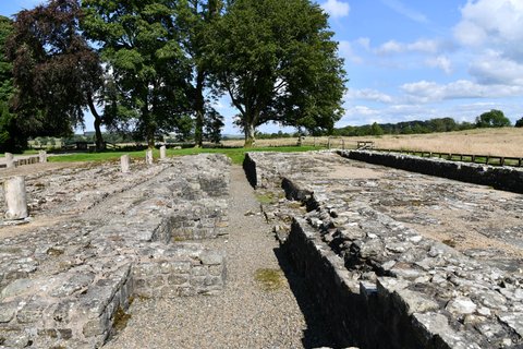
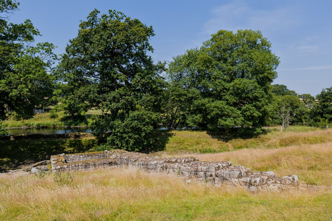
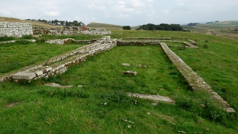
The river has since moved west. The east abutment sits on dry ground, its north wing at full height; the abutment on the fort side is under water.
From 1860 to early 1863 the ground here was opened by William Coulson, who suspected what lay under it, working with John Clayton, who owned the site and wrote up the results. Out of the east abutment came a sandstone dedication slab. Its upper part had lain in the current and was worn blank. Its lower lines had been packed in river gravel and were still legible: curante Aelio Longino praefecto equitum, under the charge of Aelius Longinus, prefect of cavalry. John Collingwood Bruce set out the loss in 1884: the stone gives the prefect who had charge of the works, and not the emperor by whose command they were carried out.
The slab is now in the museum across the river. Blocks from the bridge's superstructure lie among the trees beyond the abutment, and English Heritage warns that the site is beside the water and prone to flooding.
📸 Cover: the east abutment's coursed face, the flagged apron in front of it and Hadrian's Wall climbing away behind, standing on dry ground where the river once ran; photograph by Carole Raddato, 3 July 2017, CC BY-SA 2.0 via Wikimedia Commons. Second image, the abutment low in summer grass with the North Tyne beyond the trees; Benjamin Smith, 16 July 2026, CC BY-SA 4.0.
changes?
delete this memory?
We detected that you have a Blox in your crypto wallet! We will import the Blox into your account.
Click on done below to complete the import.
Welcome Back!
Sign in to preserve cherished moments
Don't have an account?
Welcome!!
Sign up and start preserving cherished moments
?
?

Choose your payment method
Buy with Metablox Credit
Do you want to mint Blox with Metablox Credit?
Which Crypto would you like to use?
Purchase Confirmed!
Your Blox is being minted on-chain and will appear in your profile shortly.
Log in or sign up to claim your Blox.
How many credits do you want to buy?
$100 USD = 1 Metablox Credit = 1 Blox.
Use Metablox Credit to mint any Blox you want on the map.
 expand_more