


Military History|Sunken Road, Antietam — The Trench Nobody Dug
· 1862-9
Personal memoryBy kevin · · Report an issue





















































Find memories left by people near you.
Distribute Bounty
This will distribute the bounty equally among all qualifying memories. This action cannot be undone.
Cancel Bounty
Are you sure you want to cancel this bounty? The remaining amount will be refunded to your account.
Success!
Operation completed successfully.
Error
Something went wrong.
Military History|Sunken Road, Antietam — The Trench Nobody Dug
kevin
Before the war it was a shortcut. Farmers around Sharpsburg used the lane to haul grain between two turnpikes, and generations of wagon wheels and livestock wore stretches of it down below the level of the fields on either side — a ready-made trench that nobody had dug and no engineer had sited.
Confederate troops of D.H. Hill's division occupied it around nine on the morning of 17 September 1862 and piled fence rails along the northern bank. Force figures differ: the National Park Service puts the defenders at roughly 2,200, other accounts at about 2,600.
Union divisions under William French and Israel Richardson attacked across open ground from about 9:30, and for something over three hours the two lines fired at each other at close range. What ended it was geometry rather than weight. A Union brigade worked around the Confederate right and fired down the length of the lane, and the same depth that had sheltered the defenders left them nowhere to go. The line fell back around one o'clock. The Union divisions, badly cut up, did not press through.
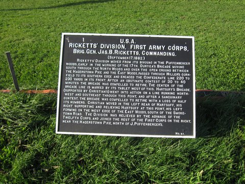
Casualty accounting for this ground is not settled. The Park Service's own wayside marker gives 5,500 dead and wounded here; its tour materials say over 5,000; the count includes both armies and depends on where the fighting's edges are drawn. Soldiers who were there called the place a road of death. The name that stuck was Bloody Lane.
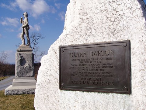
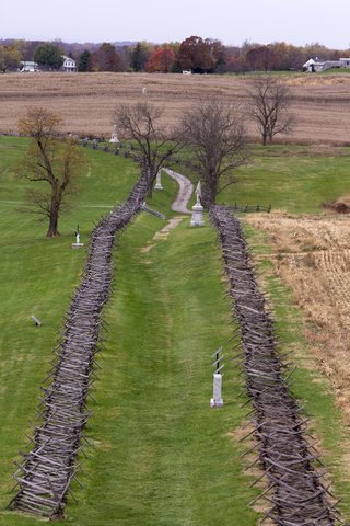
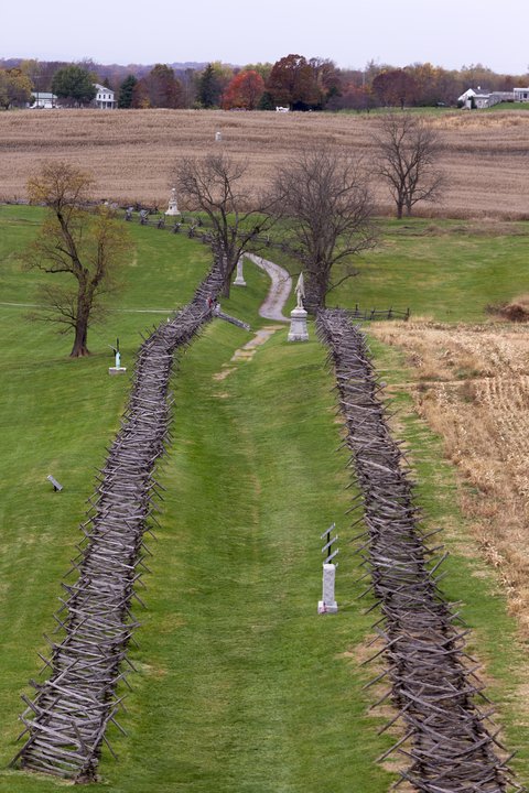
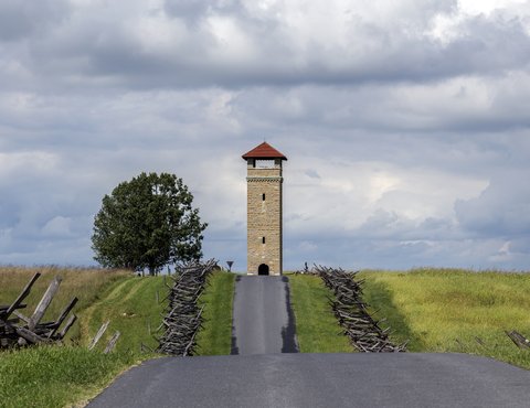
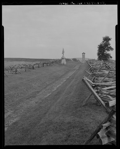
The lane today is a mown path with no traffic — cars use Richardson Avenue alongside, a road that did not exist in 1862. Split-rail fences run along both banks, and the ground still dips below the corn on either side. The marker at the overlook quotes John B. Gordon's account of holding the position. He published it in 1903, forty-one years after the morning it describes.
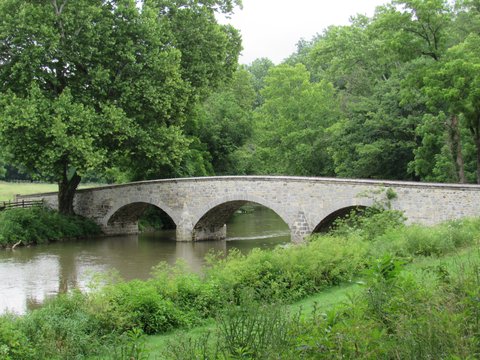
📸 Cover: The Sunken Road looking west from the observation tower, 2012. Photo by Acroterion, CC BY-SA 4.0 via Wikimedia Commons.

changes?
delete this memory?
We detected that you have a Blox in your crypto wallet! We will import the Blox into your account.
Click on done below to complete the import.
Welcome Back!
Sign in to preserve cherished moments
Don't have an account?
Welcome!!
Sign up and start preserving cherished moments
?
?



Choose your payment method
Buy with Metablox Credit
Do you want to mint Blox with Metablox Credit?
Which Crypto would you like to use?
Purchase Confirmed!
Your Blox is being minted on-chain and will appear in your profile shortly.
Log in or sign up to claim your Blox.
How many credits do you want to buy?
$100 USD = 1 Metablox Credit = 1 Blox.
Use Metablox Credit to mint any Blox you want on the map.
 expand_more